


Legend
Base Layer

- Title
- Historique des inondations
- Description
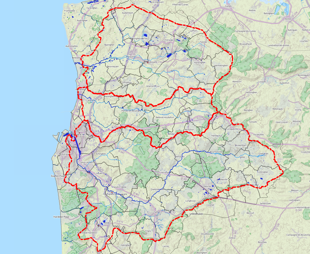
- Projet cartographique des phénomènes historiques du bassin versant des pieds de coteaux des Wateringues réalisé en phase 1
Projet adapté pour la plateforme cartographique en ligne
Version V01 créé le 26/01/2016 - Organization
- Prolog Ingénierie / DDTM62
- Person
- SC
- calvo (at) prolog-ingenierie.fr
- Projection
- EPSG:3857
- Extent
- 180629.06936089860391803, 6576129.7392322663217783, 254110.05403381629730575, 6619521.52759515307843685
- Web Map Service
- WMS Url
Geolocation
Permalink
Scale